Aerial Insights: Harnessing Drones for Environmental Inspections


Enhancing Safety and Efficiency with Advanced Drone Technology
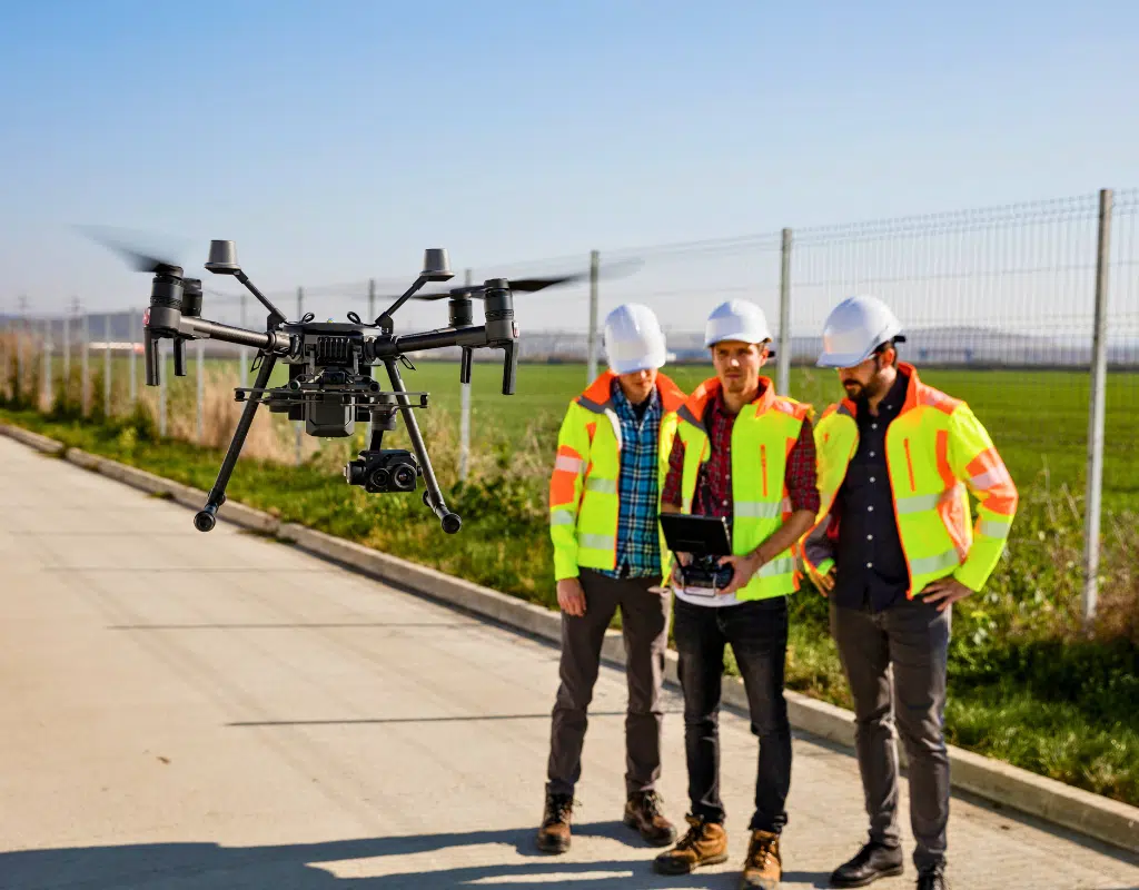
Many of our success stories come from our System One subsidiary brands. RPG Resources, our leading environmental services company, offers extensive mapping capabilities through drones for environmental inspections. Their cloud-based unmanned aerial systems services provide faster, less expensive, and safer alternatives to conventional methods. Clients can even view the data on the same day as the drone flight, saving valuable time.
RPG's drone program began by creating updated aerial maps and inspecting right-of-way areas (areas designated for transportation or infrastructure). Over time, they've added more advanced features, including thermal imaging, construction and design monitoring, and sophisticated mapping techniques like drainage modeling and vegetation analysis. They also offer 3D modeling and use point cloud data to create detailed terrain maps. Plus, they've integrated 360-degree cameras into their drone workflow, allowing clients to view a site from the ground and the air.
Scenario
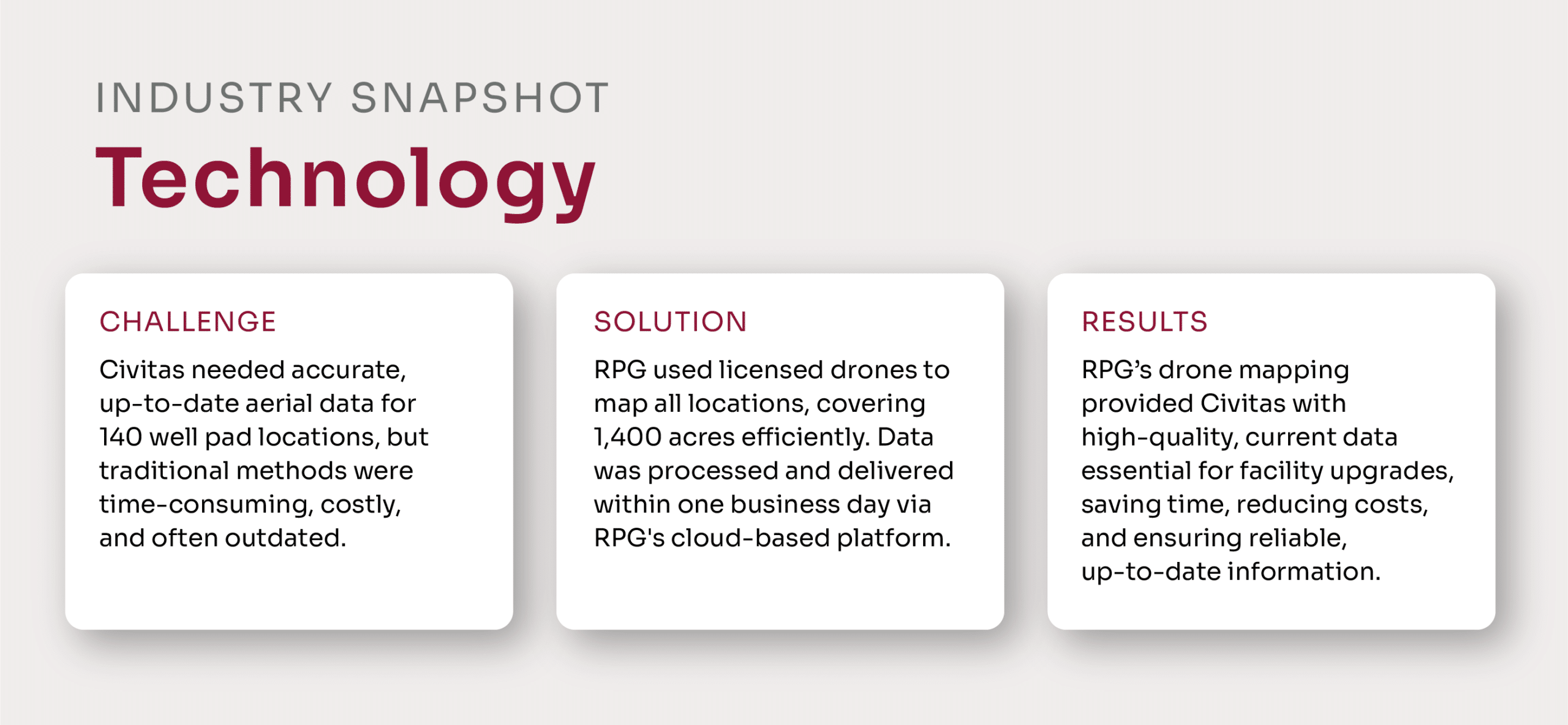
Civitas, Colorado’s first carbon neutral oil and natural gas producer, was challenged to obtain accurate, up-to-date aerial data for approximately 140 well pad locations across the Denver front range. Traditional methods of data collection would have required significant time and labor, and relying on existing online aerial mapping tools like Google Earth would have resulted in outdated or low-quality data. Civitas needed a solution that provided high-resolution imagery quickly and at a reasonable cost.
Civitas selected RPG for this project due to its ability to deliver high-resolution aerial imagery with a rapid turnaround at an affordable cost. The company’s Colorado team, equipped with several licensed drone platforms, mapped all 140 well pad locations—each covering about 10 acres, or roughly 1,400 acres total. They strategically scheduled field days to maximize efficiency, capturing data from multiple nearby locations in a single day. Once collected, the data was processed and made available to Civitas within one business day via RPG’s cloud-based platform, allowing seamless access and use.
Benefits
RPG's drone mapping solution provided Civitas with high-quality, current aerial data that was essential for permitting upgraded facilities aimed at reducing air emissions. RPG’s approach using drones for environmental inspections not only saved time and labor costs, but also ensured that Civitas quickly received accurate and reliable data.
RPG's advanced drone technology and efficient workflows have enabled Civitas to obtain critical data faster, safer, and more cost-effectively than traditional methods.
Ready to get started with System One?
Contact Us

